
STARTUP PROFILE - GeoVisual Using Imagery to Build a Better Crop
Posted on March 09, 2017 16:38 PM by sthara
In several ways, Jeffrey Orrey, chief executive officer of GeoVisual Analytics, has been prepping for a business connection with agriculture for a long time. He grew up in California’s Castro Valley in the Bay Area and got his undergraduate degree at UC Santa Barbara. For years he was in close proximity to the fertile valleys that he is mapping today as a key element of the value proposition his company has identified for the agricultural industry.
Orrey’s route to agriculture can be mapped fairly clearly. While getting his doctorate in physics at the University of Colorado in Boulder, he envisioned a career working with lasers and did that for a while at the university’s laser lab. That got him involved in atmospheric work and into the field of geophysics, which is concerned with the physical processes and physical properties of the Earth and its surrounding space environment, and the use of quantitative methods for their analysis.
“I began working with a professor that was involved in the verification of nuclear tests by what was then the Soviet Union,” he said.
Orrey explained that this work, and later work he would do studying earthquakes in South America, revolved around utilizing different ways to study these impacts, such as satellite imagery and 3-D maps. He also worked for a company that used satellite images to map New York City for the bio-terrorism unit of the police force.
These various stops along his career path gave Orrey a profound understanding of mapping and using mapping analysis to solve various problems. In 2010, he went out on his own and put together a team under the GeoVisual Analytics moniker. Over the past four or five years, the company has had several contracts with NASA using mapping for various projects such as one involving studying satellite imagery to detect forest fires.
Orrey said it has been the forestry work that led him and his team to consider the direct applicability to agriculture. “We were thinking commercially and thought there was a good opportunity to utilize drone technology with mapping analysis in agriculture.”
GeoVisual became aware of the Thrive Accelerator that Western Growers co-sponsored with SVG Partners, and applied for inclusion. “We were picked as one of the 10 finalists,” Orrey said of the program that began in early 2014.
Each of the Thrive Accelerator participants were mentored by a produce industry expert to help the research remain focused on real industry problems. “We were mentored by Taylor Farms and now we are under contract with them,” said Orrey.
As it did with its earlier contracts with NASA, GeoVisual is using imagery to define problems, and as Orrey said “put the right resources in the right place at the right time.”
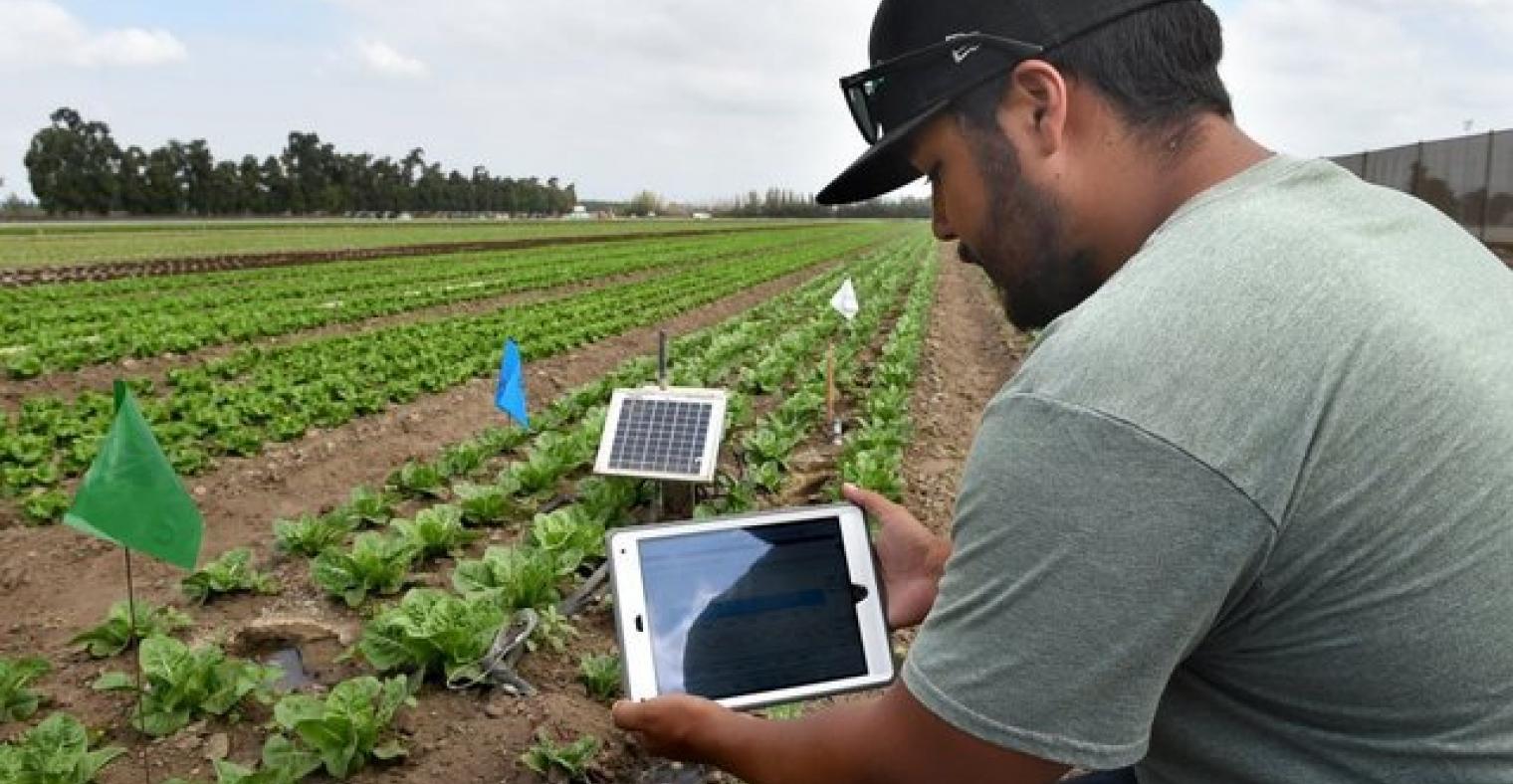
The firm has developed a software system—the OnSight platform—that can utilize any imagery—satellite, drone, aircraft, smart phone—to map a ranch or a farm. Then through quantitative analysis identify problem areas. He notes that there are several companies currently selling imagery and imagery analysis in the agricultural space. “Our key piece—what sets us apart—is the ability to integrate it with information on the ground.”
He said the company’s software package allows all of this imagery to come together in the cloud and provide a fairly complete picture. As Orrey envisions it, drone or satellite imagery can be combined with a smartphone photo taken in the field by the agronomist or PCA (pest control advisor). The GPS capabilities of the smartphone allow those images to be married perfectly with aerial imagery.
Looking down the road, the GeoVisual CEO sees several uses for this information. In the first place, he said a grower can have a visible digital record of what is happening in his fields at all times. He believes this may have some regulatory applicability with regard to record keeping, but most importantly it gives the grower the potential to identify problems and fix them quickly. He reiterated that leveraging this imagery record with on-the-ground information and people is the key to success.
GeoVisual Analytics is up and running and open for business. Besides its headquarters office in Boulder, CO, the firm is also one of the initial tenants in the Western Growers Center for Innovation & Technology in Salinas, CA. While much of the work in the past 18 months has revolved around developing the company’s value proposition and prototype imagery, Orrey said “we are in the process of scaling up our people and infrastructure and we can do that fairly quickly.”
He indicated that as clients come aboard, the company will be able to accommodate the extra work. He noted that the company’s software can use imagery provided from anywhere. If a firm is already working with a drone company mapping its fields, GeoVisual can take that imagery and plug it into its own system
As he said earlier, Orrey acknowledges that there are quite a few firms operating in the imagery and analysis space and he expects some consolidation as time goes on. But with that said, he noted that the agricultural sector offers a lot of niche opportunities for innovators. He suspects that firms may enter the space with a niche play and then exit by selling that piece to a larger company.